custom design details
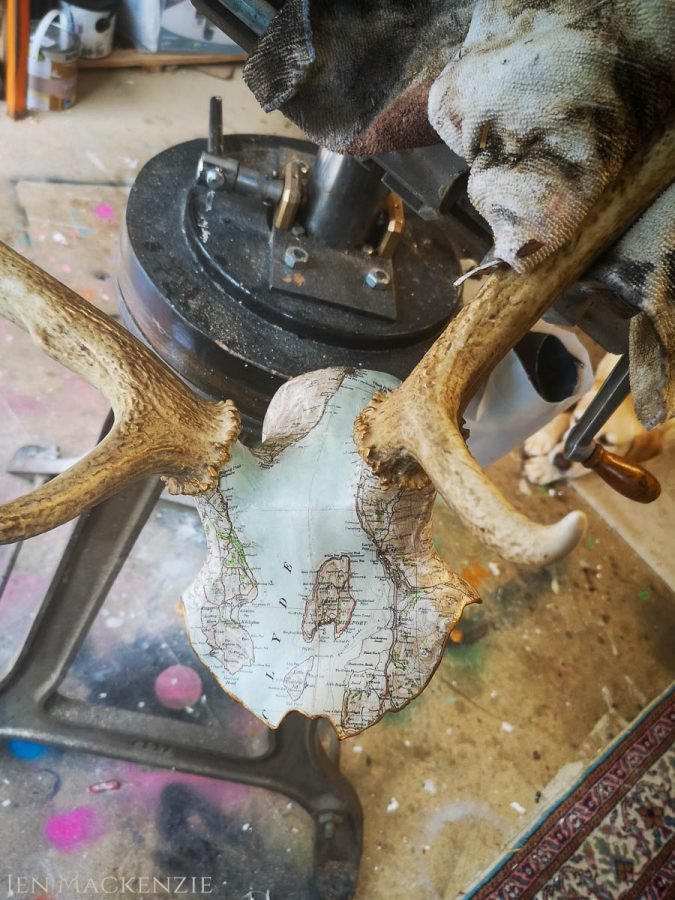
This commissioned piece of Millport (off the west coast of Scotland in the Firth of Clyde) should have been relatively simple to complete but was actually pretty tricky!
I used an Ordnance Survey 2nd Edition map for this piece. At first glance I thought “Ooo yay, lots of sea, that’ll make it a bit easier!” but what I didn’t consider was that lots of sea means lots of coastline. More importantly, that that coastline was going to have to run straight into the coronets (the base of the antlers) at which point it all gets a bit complicated. If you see the work in progress shots on the West Coast piece, they’ll demonstrate what happens to the map as it’s applied to the curves and contours better than I can explain!
If you are interested in challenging me by commissioning a bespoke map piece, large or small, then please do not hesitate to contact me below!


